Part two – Scafell Pike
<<<back to part one Ben Nevis<<<
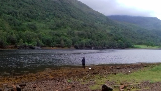
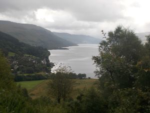
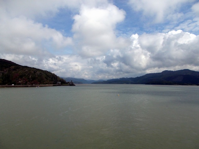
It was with great reluctance that we left the Highlands to journey south to the Lakes on the hottest day of the year, but there was some compensation in finding a campsite on the shores of Wastwater. A thunderstorm broke over the mountains early evening but the rain didn’t last too long. I got to make use of my camping box in the back of the Berlingo while Bri got the annex. A good night with beer and a camp fire – what more could you want!
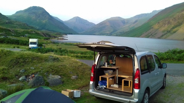
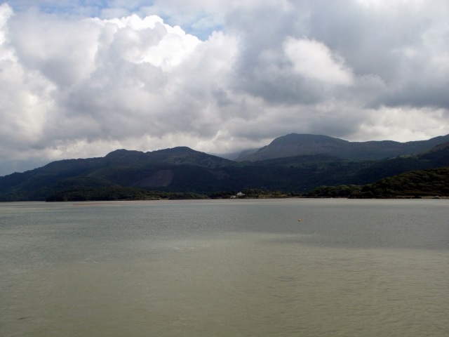
Camp by the shores of Wastwater
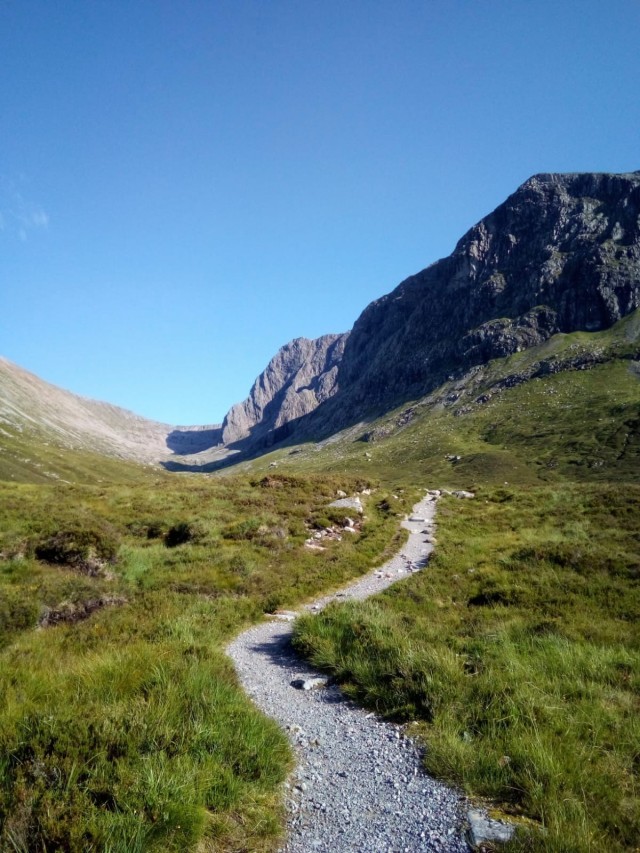
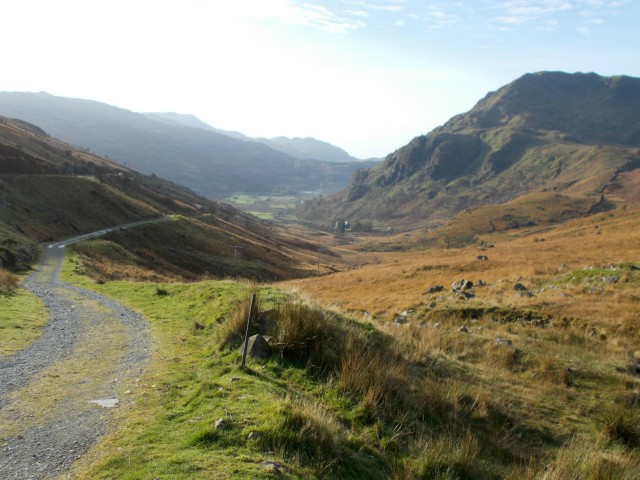
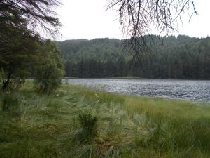
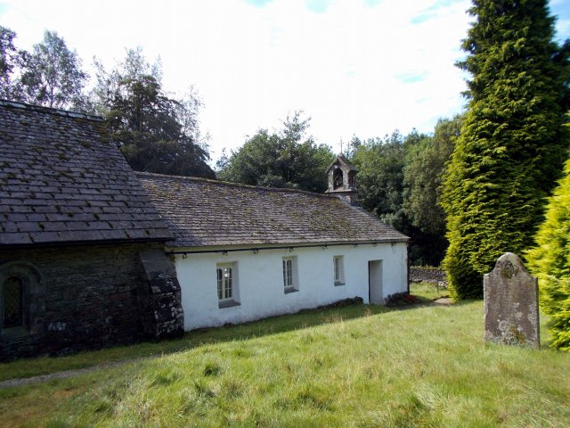
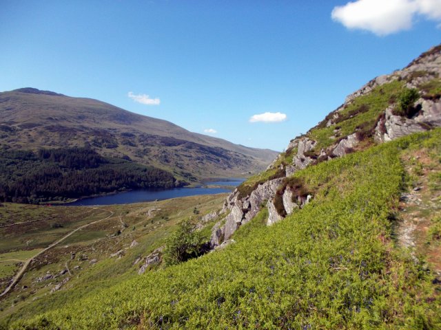
The next morning we left camp and drove the short way to Wasdale Head for the ascent of Scafell Pike – it was ascent number two for Bri and about seven for me but I don’t tire of these things! Our chosen route was Sty Head and the Corridor Route – longer than the so called Brown Tongue from the NT campsite but a favourite. We used the latter for descent. Follow the track from the Green at Wasdale Head past St Olaf’s Church (the smallest in England) and Burnthwaite farm, up across the lower slopes of Great Gable in a roughly easterly direction. It’s a rough and stony path (unless you take the valley route which we didn’t today for some reason) that will take you to Sty Head at 1600 feet. Ahead and a little lower is Sty Head Tarn and the path to Borrowdale, but instead bear right and right again after a short distance to head briefly downhill then up to follow the trail across the rough fellside.

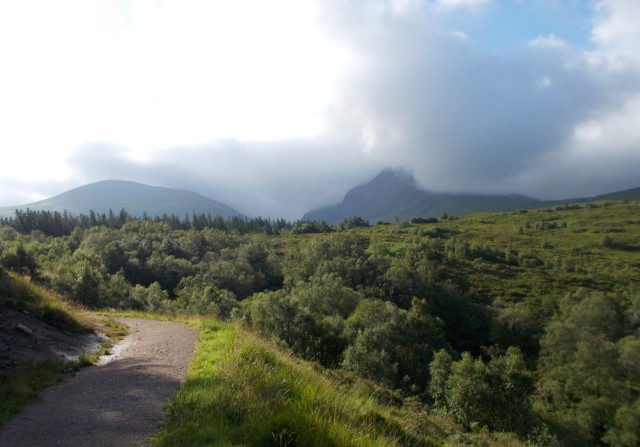
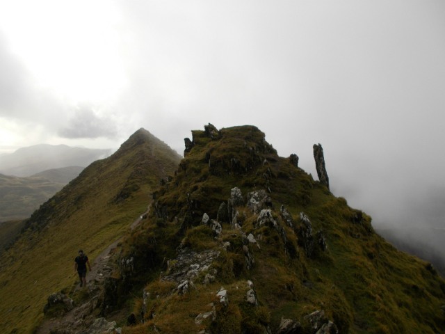
The Corridor Route just after Sty Head on a misty Lakeland morning

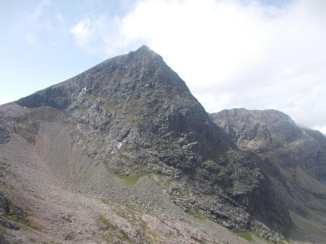
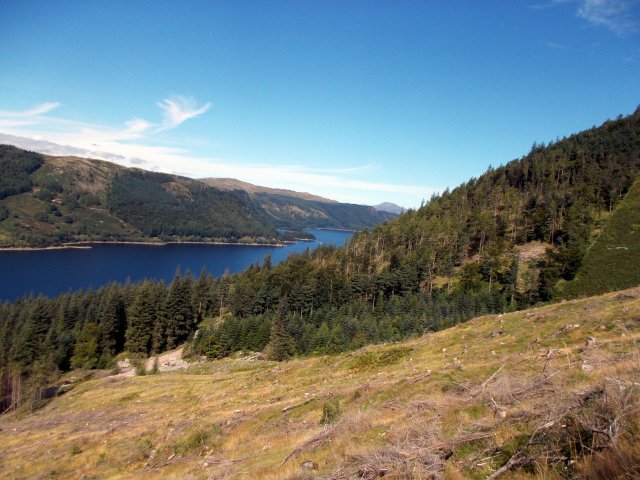
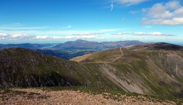
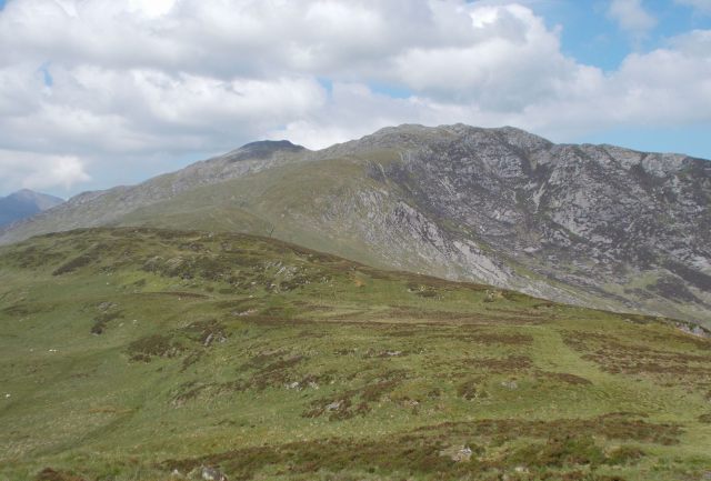
Great Gable seen from the Corridor Route to Scafell Pike
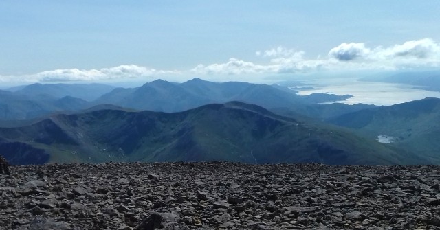
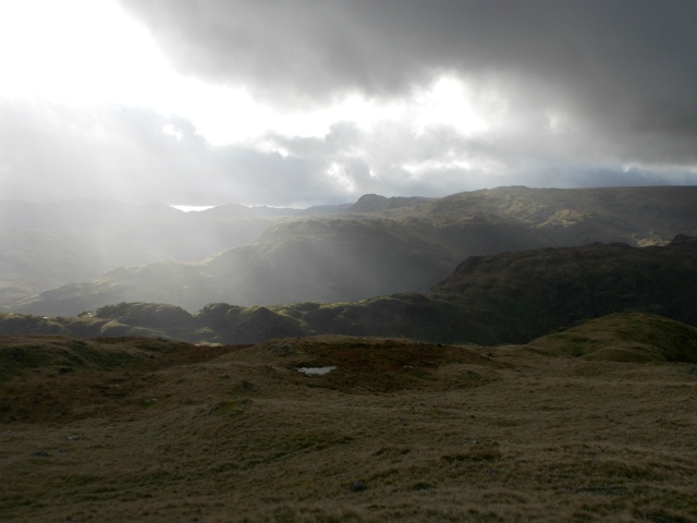
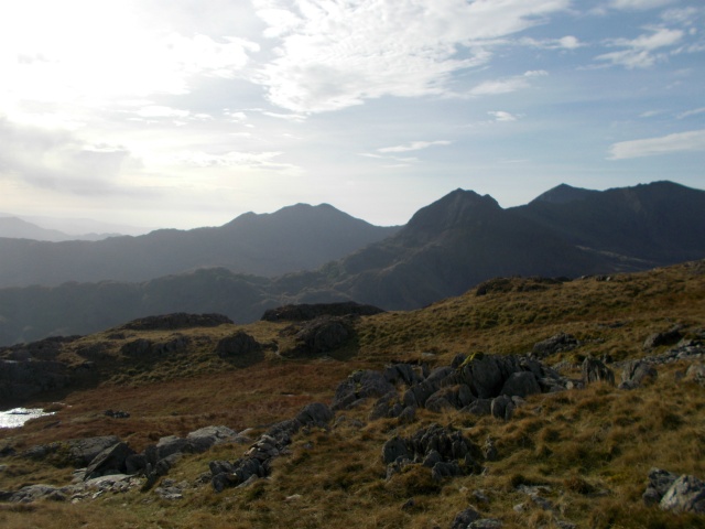
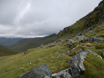
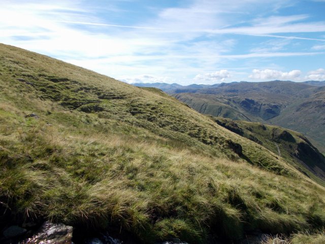
The Corridor Route as the name suggests follows an easy angled shelf or corridor between steep and craggy ground above and below. There is one short rocky step down that requires the use of hands but otherwise it avoids the crags and for a while you walk above the forbidding depths of Piers Gill – a gully a hundred or so feet deep. Do not attempt to go down that way! There are great views over this rugged terrain to Great Gable opposite and the Sty Head path you ascended earlier.
Before Lingmell Col (the wide ridge ahead that separates Scafell Pike from Lingmell) is reached a prominent path breaks off and climbs more steeply up over stones and sections of gently sloping rock towards the summit of scafell Pike. Here more people were encountered even though it was still early in the day. They had come up the shorter Brown Tongue route which starts by the NT campsite.

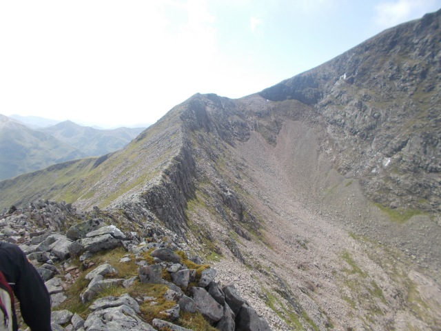
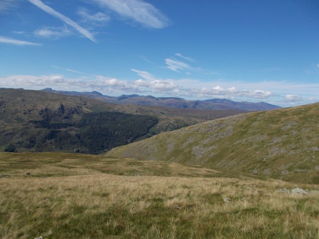
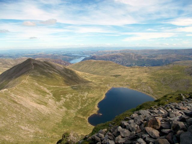
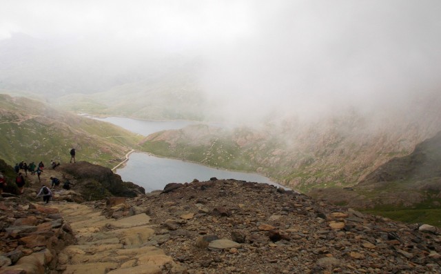
Looking back along the route to Sty Head – the path is clearly visible

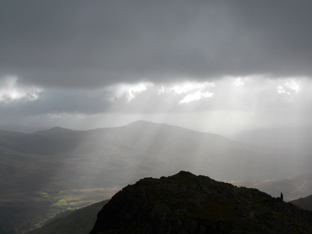
As we headed up the last part to the summit, the weather started to roll in
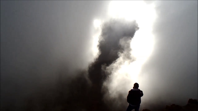
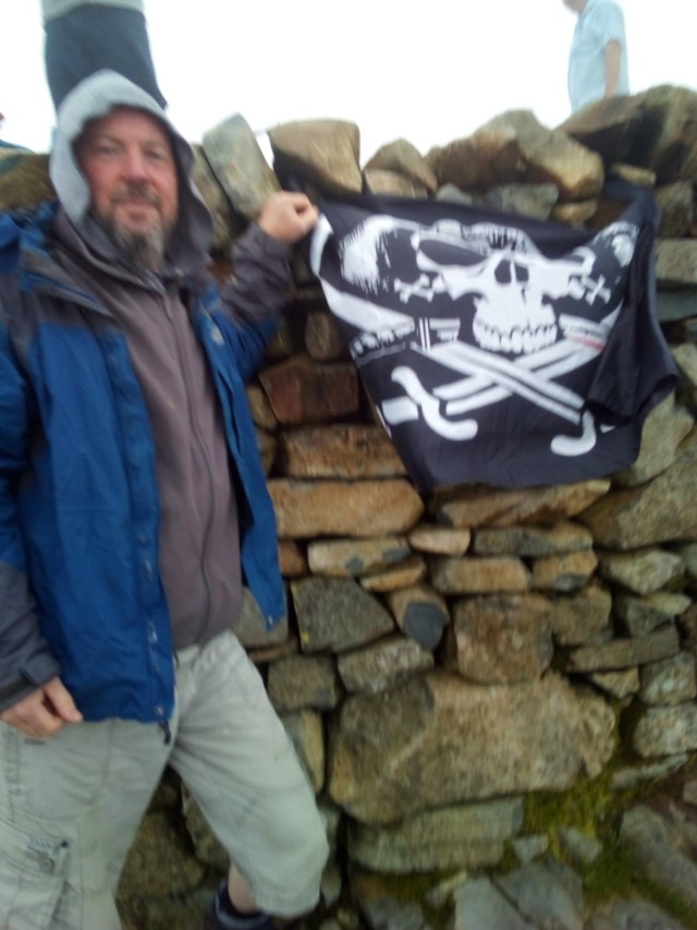
In true Lakeland fashion, the cloud had rolled in by the time we reached the summit of the Pike at 3210ft/978m and the highest mountain in England treated us to a non-view so here’s a picture of Bri with the flag that had accompanied us throughout the trip.
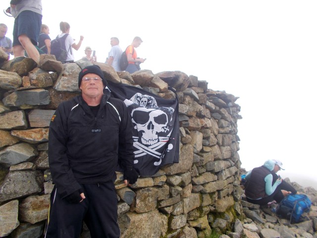
Bri flies the flag on Scafell Pike
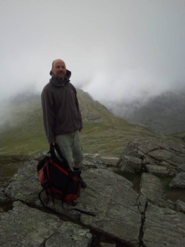
Pete on the way down Scafell Pike – I was already thinking about the Wasdale Head Inn
Now to head down as the weather had deteriorated somewhat though after the sunshine we’d had on Ben Nevis, neither of us could complain at that. We headed back down towards the Corridor but where the path forked, took the left branch (the right would have retraced our ascent from the Corridor) which led us down over Lingmell Col and onto the Brown Tongue Route where most of the people were coming up from. This way is fine for descent with good views of Scafell Crag but it is decidedly hard work to climb on a warm day due to the never ending stone steps. By the way if anyone has ever counted them please let me know how many there are… my guess is about 2000.
As mentioned the path leads to Brackenclose and the NT campsite but half a mile before the campsite, down by the tumbling stream of Lingmell Gill, it too forks again with the left way going to the campsite and the right cutting down across the fellside to cross the wider Lingmell Beck at a footbridge. We took the right hand path as it’s a short cut to the Green where we were parked and also to the pub. The sight of the Wasdale Head Inn from the surrounding hills has spurred on many a tired walker at the end of a long day and we were soon enjoying fish and chips and a pint before contemplating a journey to North Wales…
The hike up England’s highest mountain by this route involves an ascent of about 3000ft/915m, and a walk of about 7 miles/11.5km. Bear in mind that most of this is on rough stony terrain though the paths are clear and there are no technical difficulties.
Part three – Snowdon/Yr Wyddfa
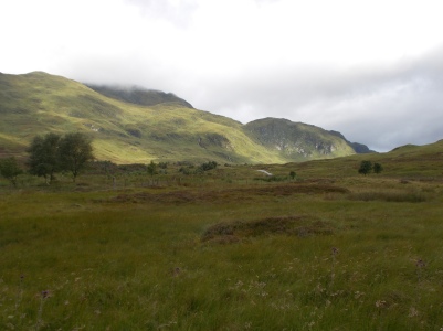
Arriving in Snowdonia we parked up by the roadside just on the Conwy side of the Gwynedd-Conwy the county boundary. Usually it is not worth even trying to park at Pen y Pass and today seemed busier than usual. Besides the walk up to Pen y Pass from just past the Pen y Gwryd Hotel on the path is a worthwhile part of the route with fine views down the Nantgwynant. We had chosen the Pyg Track for the ascent with variation being provided by the Miners’ Track in descent mostly because these are a quick routes and their start/finish point involved less driving from Lancashire. My favourite route up Snowdon is the South Ridge from Rhyd Ddu on the other side of the mountain and maybe we should have gone that way today after all such was the popularity of the Pyg Track.
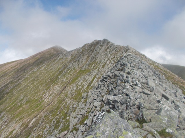
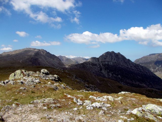
From Pen y Pass we followed the path climbing the rough mountainside behind the Youth Hostel. It’s impossible to miss the route as it rises steadily towards the imposing peak of crib Goch ahead, sometimes in stone steps and sometimes climbing between boulders. Eventually after a short steep section, a small col was reached and the terrain changed with a wider path leading to the right signed for Snowdon and views of Y Lliwedd across Llyn Llydaw.
A brief rest and onwards on a good path with no route finding issues that climbed steadily across steep ground towards our final objective. Presently the smaller tarn of Glaslyn came into view below with the final pyramid of Yr Wyddfa (Snowdon’s main peak) rising into the clouds opposite. The only issue today was the number of people on the path which made the walk dangerous in a few places. We especially noticed this as our ascent of Ben Nevis had been so quiet and Scafell had hardly been busy – certainly for the first part. Presently we were in cloud too and hope of a view was fading. The way led upwards into the mist mostly on stone steps which do facilitate progress – it used to be very loose up here.
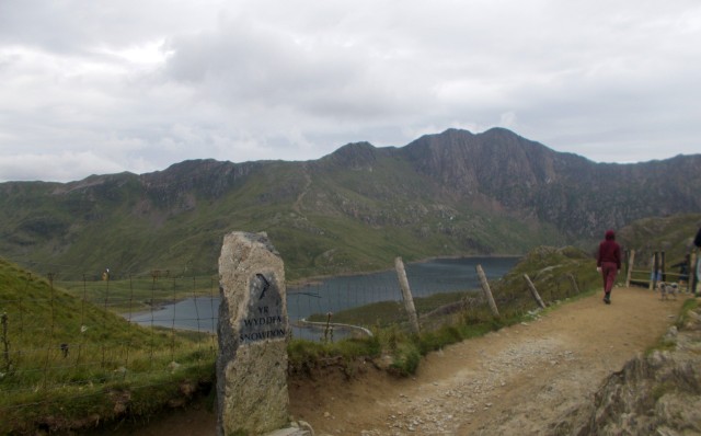
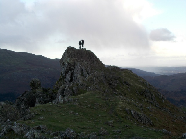
The Pyg Track from the small col. Llyn Llydaw and Y Lliwedd (898m/2946ft) in the background

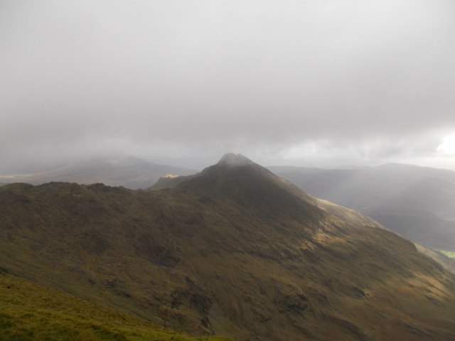
Glaslyn with Snowdon/Yr Wyddfa rising to the clouds beyond
Climbing the stone steps with Glaslyn and Llyn Llydaw beyond
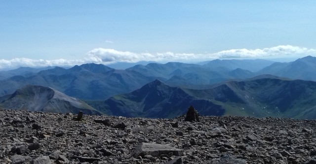
When the path emerges onto a wide ridge it is not far to go. This is the col between Snowdon and Carnedd Ugain at 1065m/3494ft the second highest mountain in Wales and a good place for lunch on a nice day away from the Snowdon crowds. To climb it turn right up the ridge. It was a cold, grey and windy day though in contrast to earlier in the week in Scotland, so we opted to get our final summit done. A short walk – less than half a mile and under 250 ft of ascent – up the path along the ridge beside the railway line brought us, and several hundred others to the summit station of the Snowdon Mountain Railway and a climb of some sixty feet to the summit itself. The highest mountain in Wales at 1085m/3560ft is a fine belvedere but today cloud hid the view and the number of people was a little offputting. We had our sandwiches took the obligatory summit photo and headed down to warmer climes.
Pete flies the flag on Snowdon
Remember when descending this way, especially in mist to look out for the large upright stone marking the col between the peaks – it is hard to miss – turn right down the path here for Pen y Pass. Straight on will take you down to Llanberis. Down we headed until an obvious path branched off down the steep slopes to the mountain tarn of Glaslyn away down to the right. This was our way back – the Pyg track is straight on (the way we came up) but we were going back via the Miners’ Track. This route leads along the shores of Glaslyn and then the larger Llyn Llydaw before leisurely making its way back to the car park at Pen y Pass. Apart from the part down to Glaslyn it is easier than the Pyg but longer and makes for a pleasant stroll after the rigours of a Snowdon ascent. I always remember pushing Josh, my eldest son along here in a push chair many years ago – that tells you how easy the trail is! We finished down the trail to the Pen y Gwryd where a celebratory pint was had in the hotel bar.
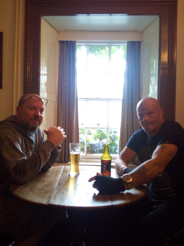
Mission Completed! Pete and Bri in the bar of the Pen y Gwryd after the trip.
This ascent of Snowdon involves a walk of 15.5km or just under 10 miles return and entails a touch over 800m or 2650ft of climbing when done from the Pen y Gwryd Hotel. If you start/finish at Pen y Pass (there is a bus if you sensibly wish to avoid the rigmarole of parking) knock off 4km (return) and just under 100m of ascent but the lower path is well worth doing.
<<<back to part one Ben Nevis<<<